Theodore Bowls Club Information Session
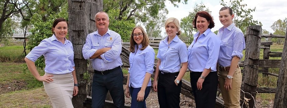
Energy, Environment & Agribusiness Partner Melanie Findlay will be at an AgForce hosted event this Friday 3 June from 10am at the Theodore Bowls Club, Theodore.
In conjunction with Ecosure, Melanie will be conducting an information session to inform graziers and landowners of the current vegetation and land clearing laws, the impacts of the SLATS data, what to do if you have illegally cleared and your property is currently under investigation and how to apply for a retrospective clearing permit (additional information is below).
There is also an opportunity to have a topic of your choosing included in this session when you RSVP.
What else would you like information on?
- Environmental/vegetation offsets
- Work place health and safety
- Wills and succession planning
- Biosecurity/weed management plans
- Vegetation law/protected plants (trigger mapping)
- Carbon farming and carbon projects
Rees R & Sydney Jones will be providing a BBQ lunch after the session.
RSVP ESSENTIAL to Emma Kime on 07 4927 6333 or emmak@reesjones.com.au
Vegetation and Land Clearing Release of Qld Government Data
Earlier this year, the Queensland Government publicly released their Statewide Landcover and Trees Study (SLATS) data for the 2012 – 2014 period.
The purpose of the Statewide Landcover and Trees Study (SLATS) is to monitor Queensland's forests and woodlands to assess vegetation extent and clearing activities.
In conjunction with Ecosure Pty Ltd, Rees R & Sydney Jones Solicitors has conducted inquires and identified areas in Queensland where vegetation and land clearing has occurred.
We are aware that the Department of Natural Resources and Mines on behalf of the Queensland Government will now be in the process of investigating all properties located on the SLATS 2012 – 2014 maps to determine whether vegetation and land clearing was authorised or illegal.
In particular with reference to the SLATS 2012 – 2014 maps, we note that:-
- Properties covered in darker red and showing higher levels of clearing (500 + hectares) will be the listed for priority investigation by the Department of Natural Resources and Mines; and,
- Properties covered yellow and orange with less levels of clearing will be subject to investigations by the Department of Natural Resources and Mines in due course.


No comments:
Post a Comment